
About the Terraso Toolkit

People
After creating a free account, Terraso members can join or create a landscape, join or create interest groups, and access our collection of tools.

Landscapes
A Terraso Landscape is where data about the project and landscape partnership is stored. Members of a landscape have access to an overview of the project area and all the relevant data that has been collected and shared by members.

Groups
Groups allow Terraso members to connect within or outside of their landscapes. Groups are formed around common interests and allow users to share and exchange information. Groups can be public, or restricted to approved members.
Terraso Tools
Data Collection
Terraso users can create and administer surveys to collect data both on and offline on the device of their choosing directly from their Terraso account using KoboToolbox. Terraso users can use that data to better understand their landscape, the challenges they face, and the impact their work is having.
Data Storage
Terraso users can store data about their landscapes and sustainable development goals.

Data Sharing
Terraso users can share data about their landscape with members of landscapes and groups they belong to. Users are able to upload and share files and links.
Mapping
Terraso users can upload and share data files with latitude and longitude columns, quickly and easily creating a map of the project area. This leads to a shared understanding of the project elements and a way to ground any information being collected, stored, and shared in a real world visualization of the work.
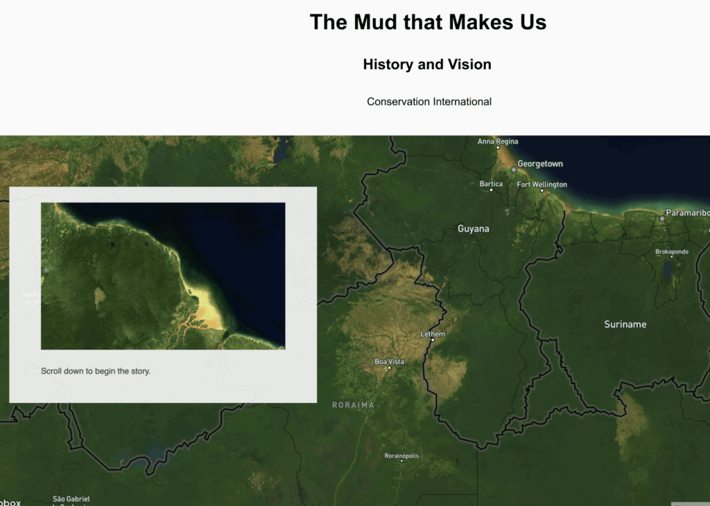
Storytelling
Users can explore a how-to guide for creating videos with smartphones and access comprehensive tools for story mapping. These rich stories help Terraso users better communicate their needs and successes with potential funders, current donors, potential volunteers, their community, or even the world as a whole.
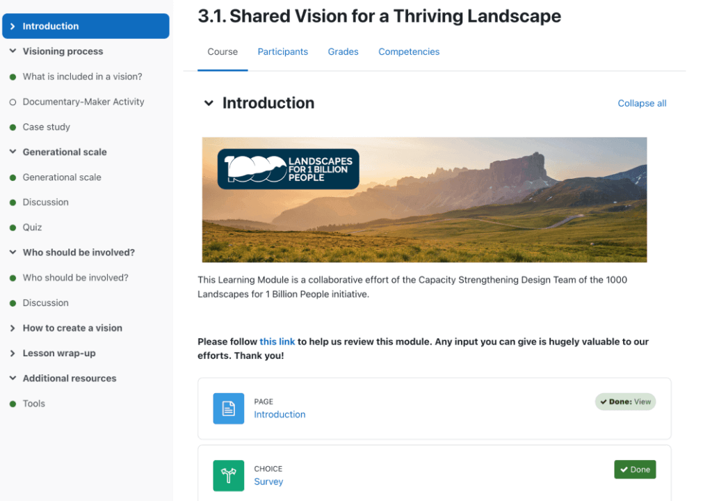
Capacity Strengthening
Users of Terraso will soon have access to online learning modules with the addition of a learning management system. These classes are designed to increase knowledge and understanding of Integrated Landscape Management (ILM).