
Landscape profiles are the way landscape members can communicate their landscape’s location, goals, and environment in order to ground their story maps in the land. Landscape managers can update the landscape profile at any time. Landscape profiles are visible to the public.
Landscape boundary
Landscape boundaries let the world know where your landscape is. Add your landscape boundary by uploading a map file, drawing the map, or dropping a pin.
Landscape photo
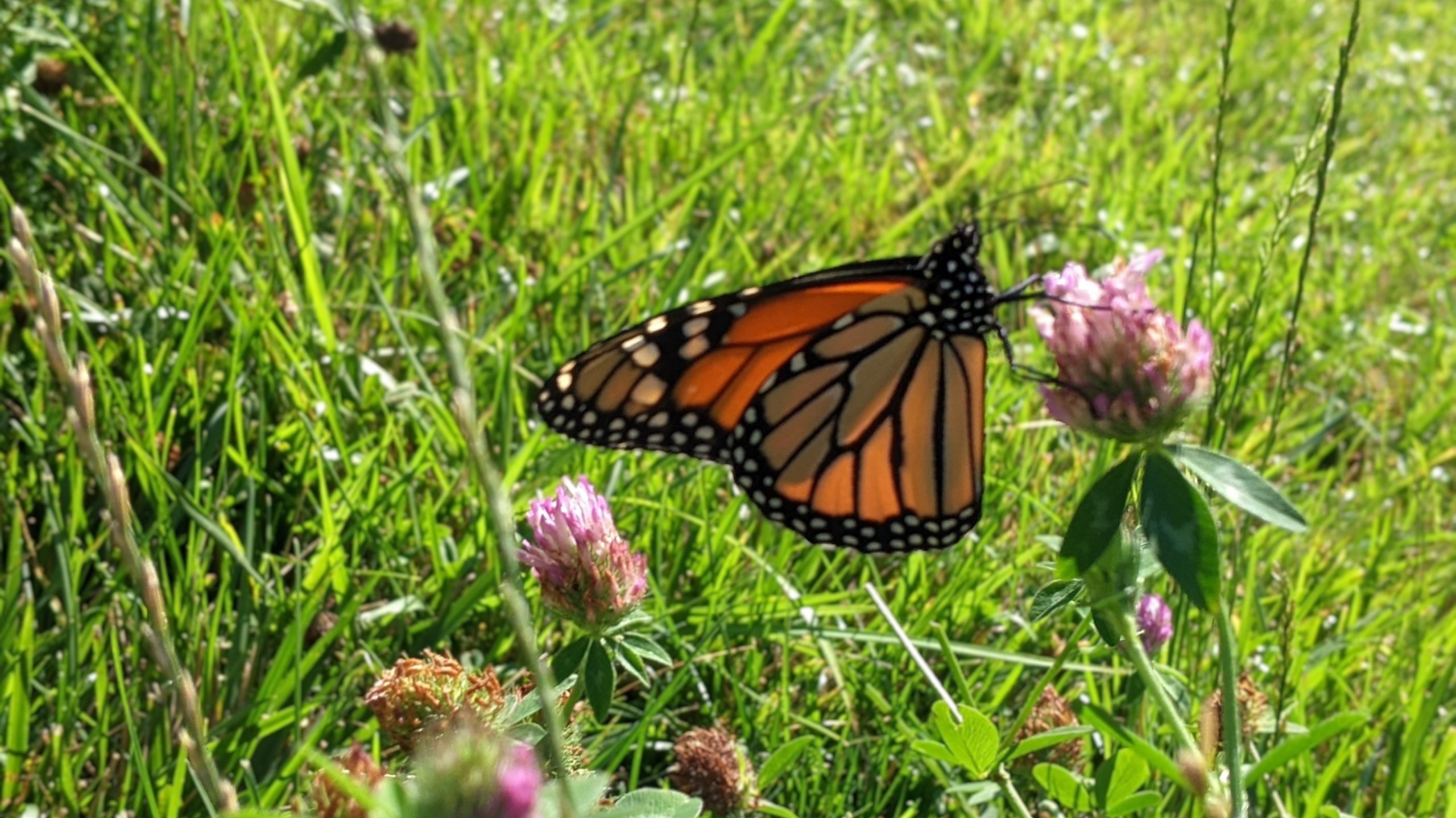
Landscape photos represent your landscape in their profile and in your “My Landscapes” dashboard. Pick a picture that represents your community.
Landscape description
Use your landscape’s description to share the basics: your landscape’s name and basic description, its country or region, a contact email address, and website.

Landscape partnership and affiliations
Landscapes practicing integrated landscape management are often coordinated by a partnership or a collection of organizations. Define the status of your partnership and the year of the partnership’s inception. (These fields are optional.)
Landscape partnership
If there is a Terraso group representing the landscape, you can designate it as the Landscape partnership.
Other active organizations in the landscape
List institutions contributing to your landscape’s development. These may include government agencies, non-government organizations, educational institutions, religious organizations and businesses.
Affiliated Terraso groups
Name other groups on Terraso Story Maps that belong to your landscape.
Land, people, and livelihoods
Describe the landscape so that others can understand what the land is like, who lives there, and the nature of the local economy. (These fields are optional.)
Landscape area description
Rural areas are usually located far from cities and urban areas and generally have limited services and infrastructure. Most people live or work on farms in villages, towns and other larger settlements. Land is used primarily for agriculture, pasture, forestry and conservation of natural areas.

Peri-urban areas mark a transition between rural and urban land, usually located at the perimeter, or outer limits, of urban centers. They include a mix of characteristics of urban and rural areas.
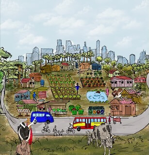
Urban areas are cities, suburbs, and towns. They have high population density, infrastructure (e.g., water and sewage) and connectivity (like airports, ports, railways, large buildings, housing and roads). Land use is primarily residential, with some commercial and industrial use.

Languages: Which languages are spoken in your landscape? Include minority languages.
Approximate landscape population: How many people live in this landscape?
Livelihoods: Describe the main occupations and sources of employment in your landscape.
Agricultural production method: How is agriculture developed in your area?
Agricultural products and commodities: List the main agricultural products and commodities produced in the landscape.
Landscape development strategy
Explain how the landscape partnership is trying to develop and sustain the landscape economy. (These fields are optional.)
Sustainable development goals
Examples of sustainable development goals include:
- Conserve and restore biodiversity
- Improve crop and livestock yields sustainably
- Achieve food and livelihood security
- Strengthen access to health, education and other human services
Learn more about vision and planning.
Opportunities
Examples of opportunities include rich biodiversity, engaged community members and geographic location.
Learn more about assessment of landscape opportunities.
Main challenges
Examples of challenges include deforestation, poverty, lack of economic opportunities and funding.
Learn more about assessment of landscape challenges.
Landscape intervention strategy
Examples include convening landscape partners to identify solutions, conducting policy campaigns and building capacity of stakeholders.
Learn more about landscape action plan and finance strategy.
