

At its core, a map file is a collection of information about geographic features. In Terraso Story Maps, there are three types of features: points, lines, and polygons.
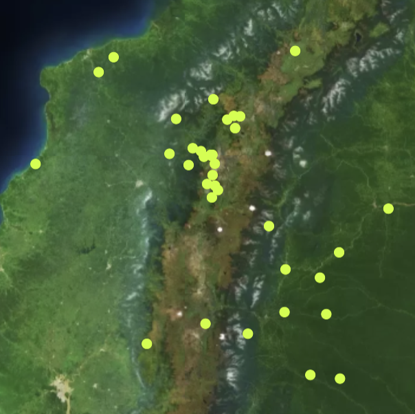
Points are features that occupy a single place represented by latitude and longitude coordinates. You might use points to represent:
- cultural sites in a forest
- specific buildings in a town or village
- dig sites in a soil testing project
Lines are features made of a series of connected points. You might use lines to represent:
- a river that passes through a landscape
- the road traveled by a farmer
- the layout of a sea wall

Polygons are features made of a series of points to form a shape with a distinct inside and outside. You might use polygons to represent:
- the boundaries of a community
- a parcel of farmland
- a local watershed

Each of these features can be associated with more information, like names, types of crops grown, elevation, and so on. Features can also have styles which define the way they look (color, transparency, etc.). Map files can have layers, which are groups of related features treated as a unit.
Terraso Story Maps accepts several types of map files. Visualize your map file by making a map in a group or landscape or adding it as a layer to a story map.
