Terraso Story Maps is a free, open-source app for creating interactive story maps. It’s built for nonprofits, NGOs, and community groups who want to share advocacy and impact stories grounded in place. Terraso Story Maps is made by Terraso, an independent nonprofit.
What are story maps?
A story map is an interactive, web-based story that combines map data, photos, video, audio, and narrative on a map. Each part of the story is tied to a place, so readers can follow it across the landscape. Organizations use story maps to connect their work to the land: where a project happens, how a place has changed, and why it matters.
Learn more about Terraso Story Maps or make your first story map.
How can I use story maps?
Use Terraso Story Maps to:
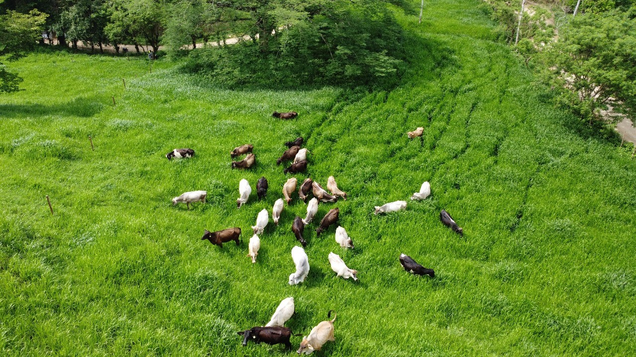
Demonstrate impact, as seen in Paisajes Sostenibles de Catacamas by Heifer International.
This story map uses aerial photography and data layers to share how sustainable ranching practices in Honduras are restoring a degraded landscape and improving the lives of farmers.
Tell environmental stories, as seen in The Story of Forgotten Rivers by Panni Earth.
This story map traces the often polluted and over-exploited rivers around Bangelore, using a combination of data and rich historical media to describe humanity’s impact on India’s rivers and the rivers’ impact on the living things that depend on them.

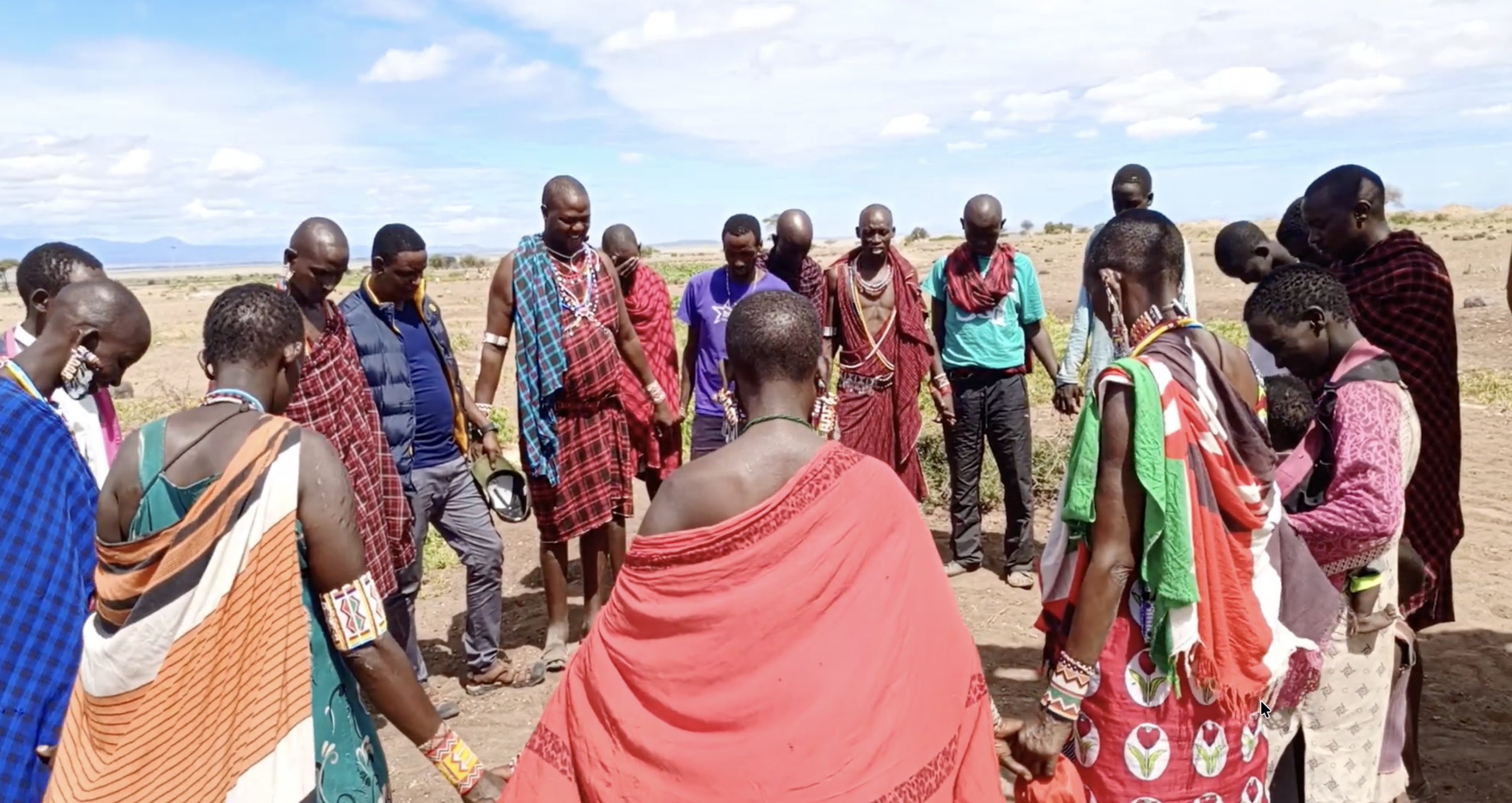
Broadcast calls to action, as seen in Seeking Water in Amboseli by Joseph Oloitai Merin.
This story map shares the voice of a Maasai tribesman in Amboseli, Kenya. Climate change has challenged his nomadic community, drying up the water sources they have relied upon for generations to sustain livestock. Joseph uses video, pictures, and satellite imagery as he asks for support for his community which is adapting to the new reality.
Terraso Story Maps have been used for many purposes, including travelogues, research presentations, explaining the impacts of pollution, marketing eco products, and documenting culture and history.
Why should I use Terraso Story Maps?
Among all the online mapping tools available, Terraso Story Maps provides unique advantages:
- It’s free: Terraso Story Maps is free to use, with no limit on the number of story maps you can create.
- It’s easy to use: Unlike many powerful tools, Terraso Story Maps is built for people without advanced mapping skills. If you can make a slide presentation, you can make a story map.
- It’s made by a nonprofit: Terraso is a mission-driven charitable organization with clear product principles. We’re here promote a more sustainable world, not to extract money from nonprofits on a tight budget.
- It’s focused on community: We started as a platform for landscape partnerships, and regional collaboration is in our bones. Share data, maps, and media with groups and landscapes, and use them to power your stories.
- It’s constantly improving: We are responsive to requests from our users and partners. Read our updates to see how we build according to our communities’ needs.
- It respects your data: Terraso will never share your data without permission. Read our privacy policy for more details.
- It’s open source: Our code is available for free, now and forever.
Make your first story map today
Sign in to get started. It’s free and easy, no coding required.
If you need additional support, contact us for training or an introductory session.